Two new amazing pieces of film
Thank you to the highly talented Richard Crowther of Farsley who has been carrying out visual work for ourselves in summer 2026
This work is groundbreaking in combining drone, 360-degree panoramic filming, which when completed and combined will provide a virtual tour of the Rehoboth that can be accessed world wide with individual graves inscriptions visible.
New work during late June has produced:
Firstly, a stunning drone film taken at the height of the foliage growth spurt although it clearly shows our landscaping and sympathetic strimming.
Viewing the video (link below) which is just under three minutes, it is really clear that the focal point of the burial ground is the area we call “The Triangle”.
This area contains Job Isles Obelisk and the Pullan Memorial as well as the John Gaunt ornate tower, currently in pieces on the ground, but marked up and identified for future rebuilding.
Please take time to view the film:
The second development is a two-minute film, described in Richard’s own words.
“As part of my experimentation with Google Street View, I also captured 360-degree video footage while walking the main paths. This video is largely unedited raw footage, but it offers a fully immersive experience on YouTube. You can interact with the video by clicking and dragging your mouse anywhere on the screen to change your perspective and look around in any direction.”
To summarise, this film takes you on the Carriage Road and the Top Road of the burial ground, in real time, and on every step, you can turn in any direction to examine the ecology and the heritage.
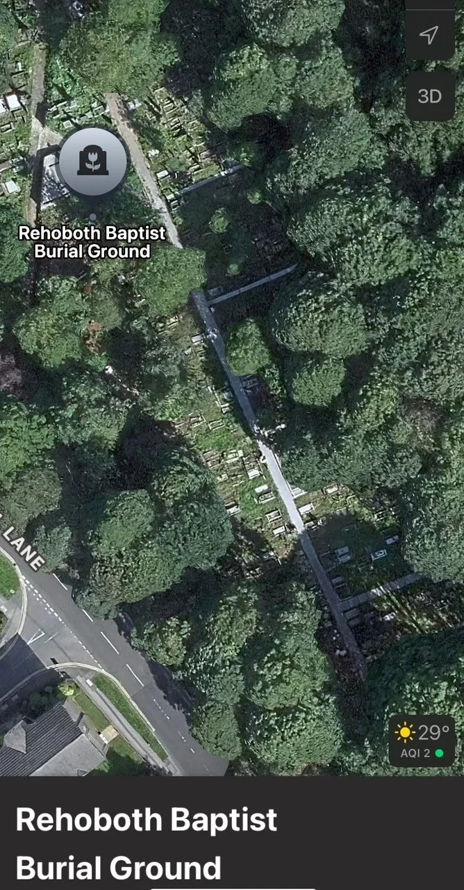
All this work will be eventually incorporated into Google Maps/Street View, with several updates already included as seen in the screenshot below:
Further work will then add it to our database.
We also now realise we will have to persuade Richard to undertake a second version of his works, to provide a winter view as well as the extraordinary lush greenery of summer 2026.