Historic Maps, Plans and Photographs
This page contains all the historic maps, plans and vintage photographs we have managed to locate to date.
These are shown in the accompanying gallery in chronological order ranging from 1839 through to the present day. They include a number of aerial photographs, some with details enlarged to show the church buildings by the “Nursery Road” that no longer exists and the location and foundations of The Manse, the Minister’s home (which was removed stone by stone in 1909) and rebuilt in Bryan Street, Farsley.
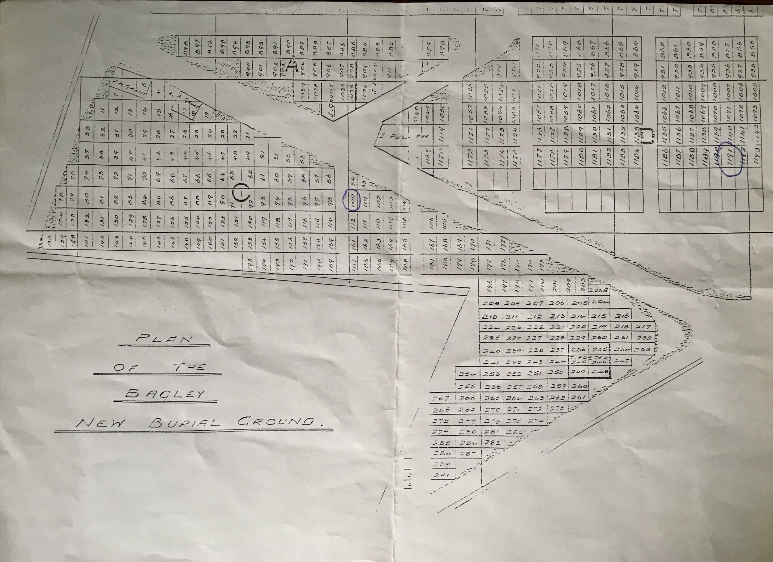
The contemporary maps finish with a Yorkshire Electricity Board from 1963 (which illustrates there was no electricity supply to the Rehoboth). All the maps and plans were vital in scoping out and planning the reclamation of the Rehoboth.
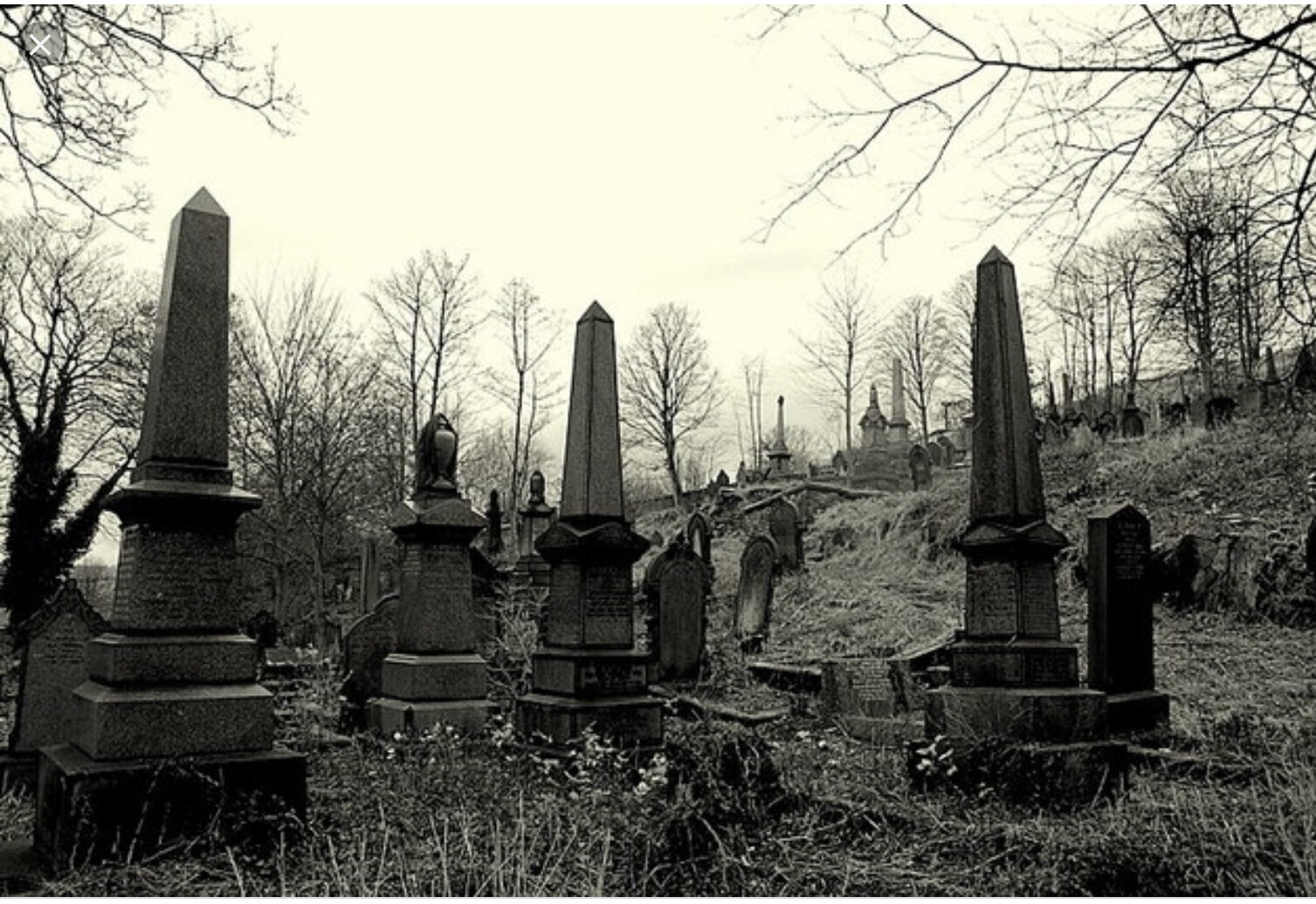
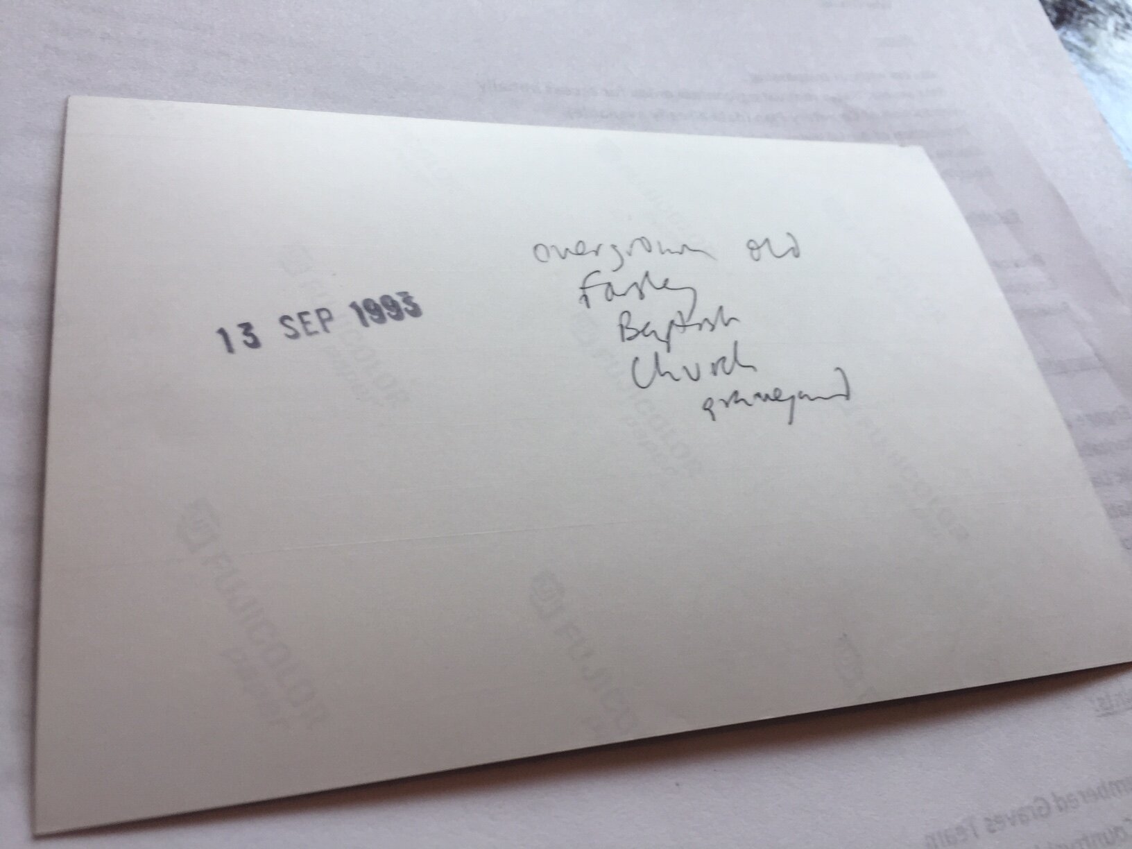
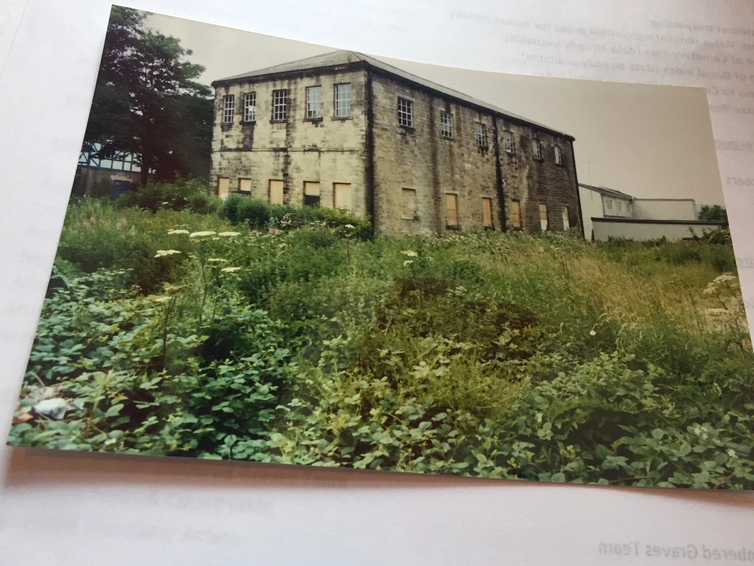
Included are details of the removal of memorials in the old chapel grounds in the 1980’s/early 1990’s and the details of the sale in September 2007.
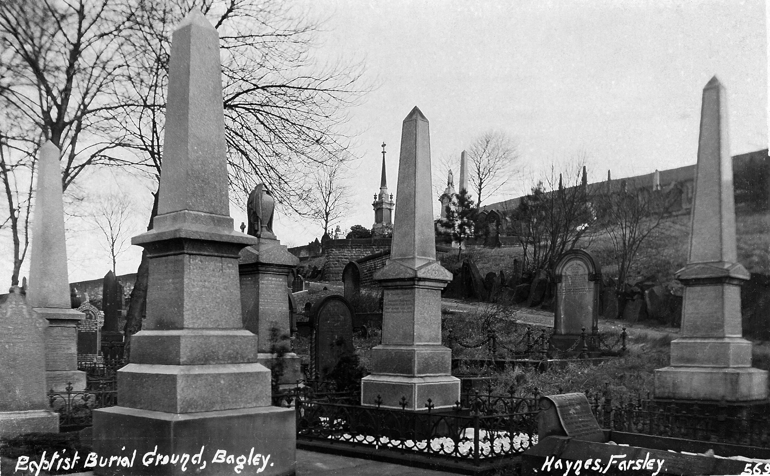
We were pleased to receive a photograph from circa 1910 taken just inside the entrance that features the Memorials newly built and has been of great assistance with our restoration work.
In June 2020 we were pleased to receive from the present (and very supportive) owners of the old chapel a section of the George Hainsworth memorial that is detailed in a photograph from 1990 contained in the gallery below.
In August 2023 we received a copy of an aerial photograph from circa 1953, showing the Rehoboth Chapel and environs in the centre of Farsley Village, with the Burial Ground now about one third of a mile from the Baptist’s place of worship.